Choose a path that fits your industry goal, from reality capture and spatial understanding to trustworthy verification and business delivery.
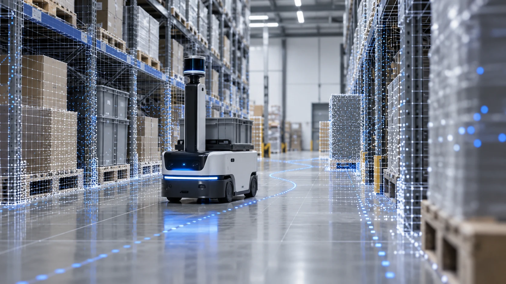
Use an R2S2R framework to build spatial environments that robots can localize within and understand, and that can be updated over time.
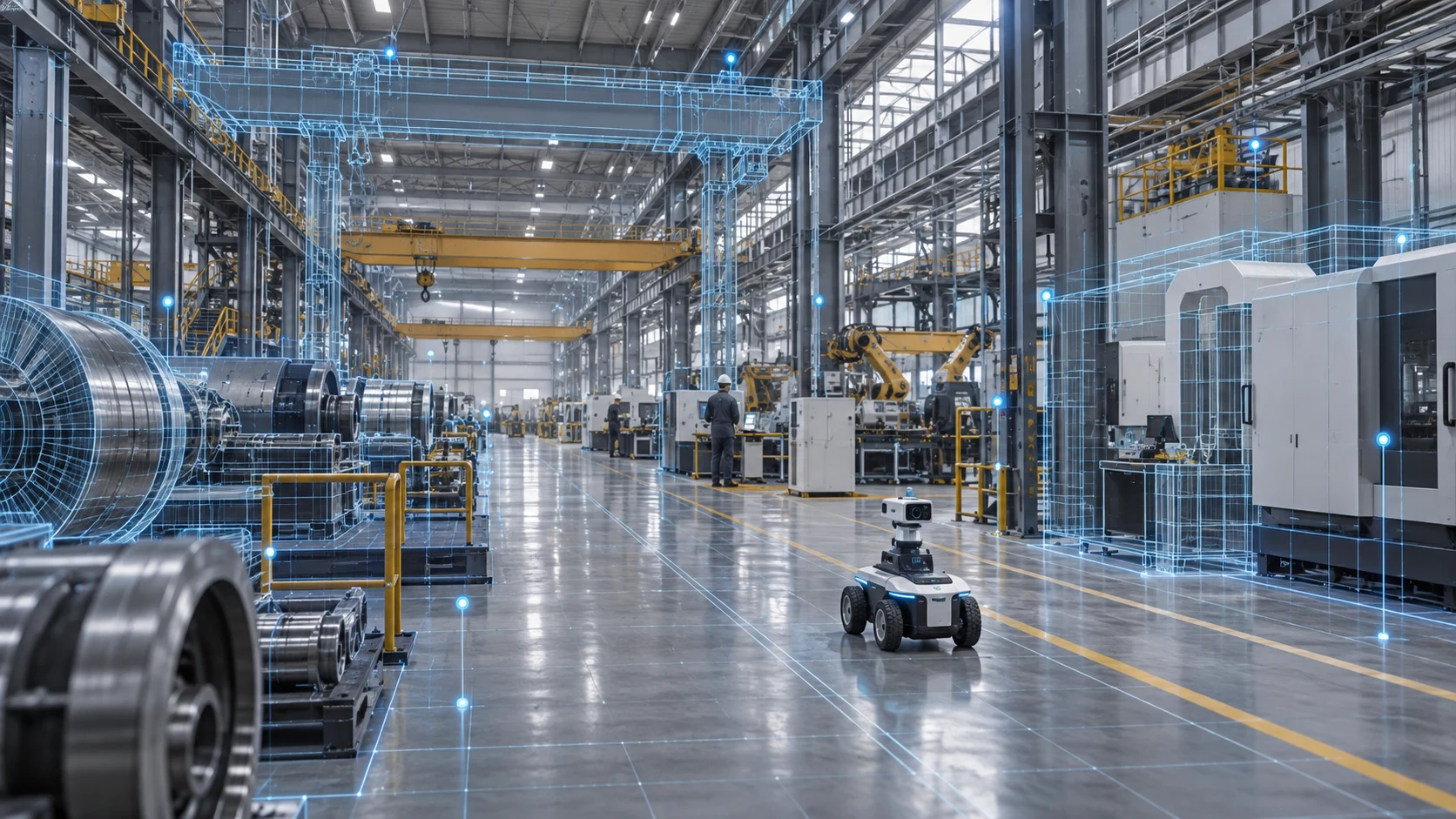
Bring factories, equipment and energy facilities into one spatial record for remote collaboration, inspection and business context.
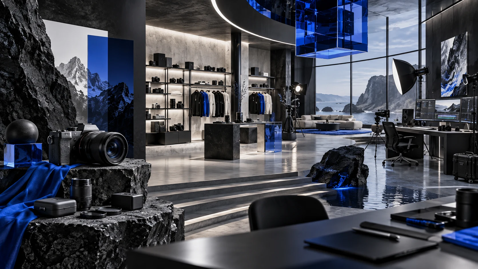
Start with real 3D assets and keep producing content for commerce, brands, film, games and cultural experiences.
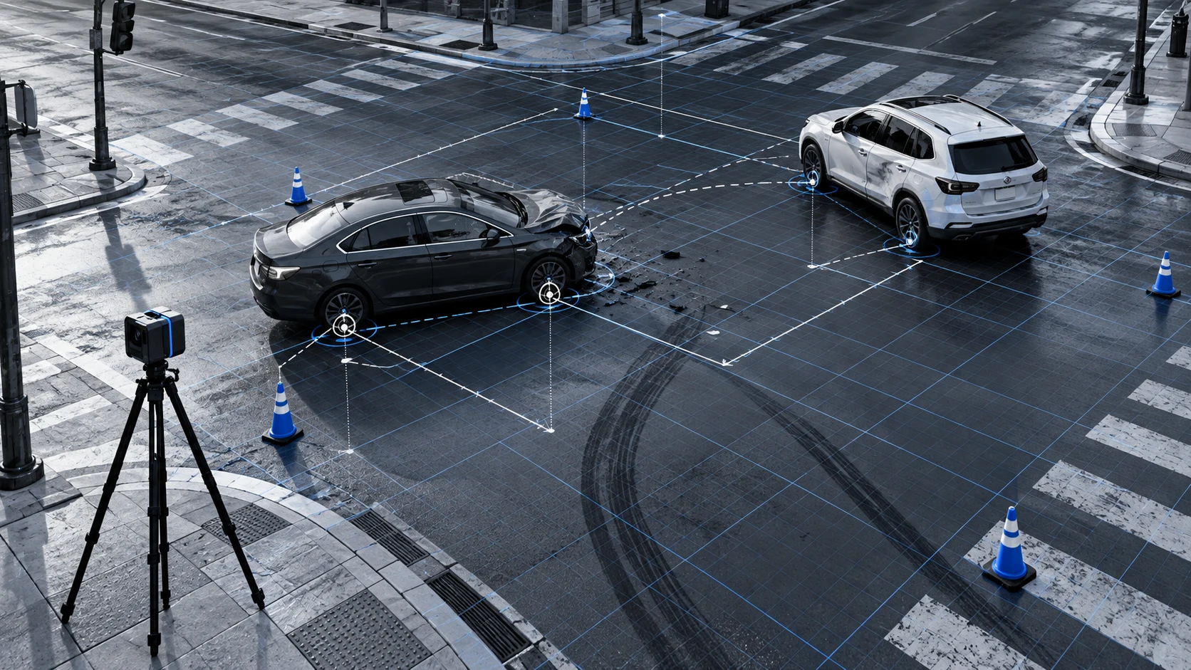
Record spatial relationships, changes over time and source evidence to support reconstruction, measurement and review.
MORE INDUSTRIES
Keep proven application paths available, while starting with the focus area closest to your current business goal.
Help customers understand scale, circulation and condition online, reducing communication overhead.
Preserve the spatial information of heritage objects, venues and destinations for exhibitions, research and outreach.
Build updateable, facility-level 3D records for sites, pipelines and high-risk areas.
Turn real products into reusable 3D assets for interactive product pages, campaign visuals and video content.
FROM CAPTURE TO DELIVERY
Validate the result with real source data first, then define capture, processing, integration and update requirements around the business goal.
Capture real-world spaces using photos, video and point clouds from cameras, drones and other capture devices.
Create spatial and temporal scene representations using 3D Gaussian Splatting, 4D Gaussian Splatting and multi-source data fusion.
Label objects, locations, relationships, states and changes.
Record provenance, timestamps, versions, error bounds and evidence links.
Bring spatial assets into business workflows through viewers, APIs, SDKs and project services.
Tell us about your industry, space, source data and the problem you want to solve. We will define the next step with you.