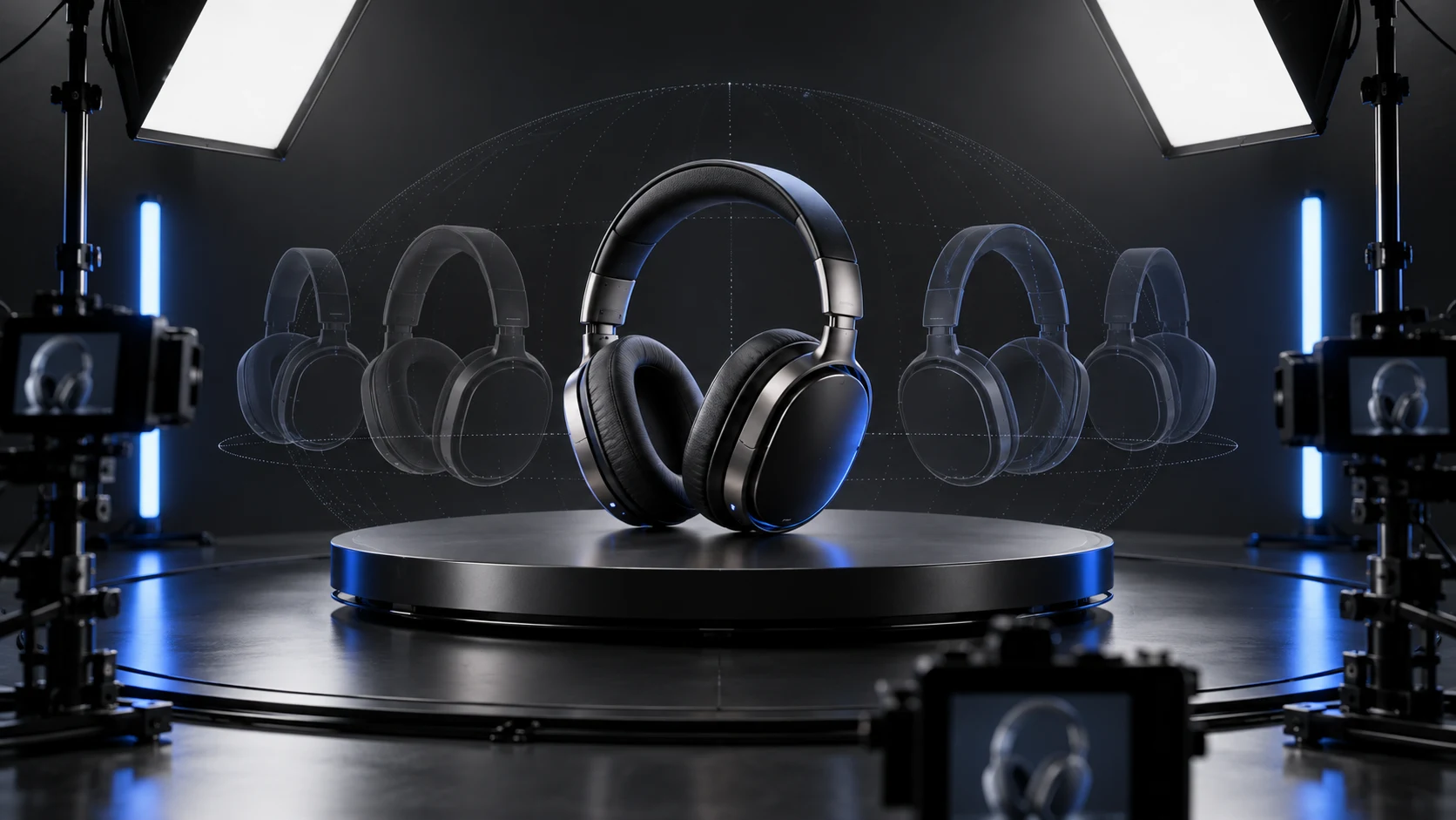
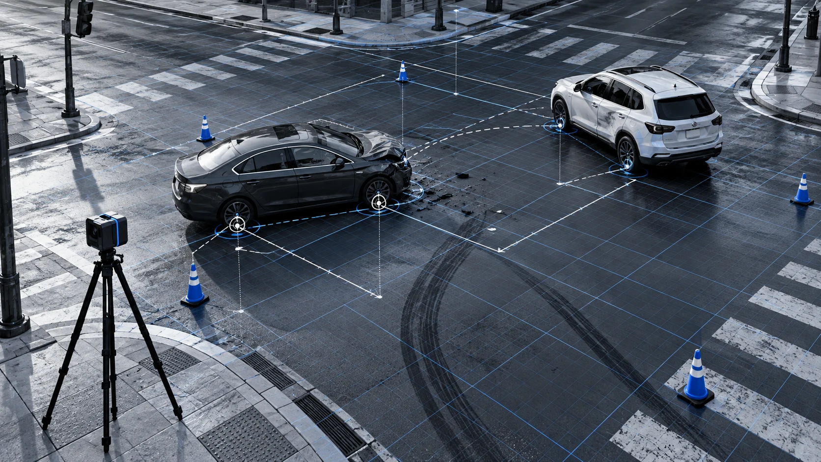
An open platform for developers, enterprises and creators, spanning spatial capture, 3D/4D reconstruction, spatial understanding, computing and application integration. Make every real-world space capturable, understandable, computable and reusable.
Capture real-world scenes using photos, video, point clouds and multimodal capture devices.
02
Reconstruct
Represent real environments and their changes over time with 3DGS and 4DGS.
03
Spatial understanding
Understand objects, locations, relationships, states and events.
04
Trustworthy verification
Make provenance, versions, boundaries and evidence traceable.
05
Compute and delivery
Put spatial assets to work through platforms, viewers, APIs and project services.
3D and 4D reconstruction
Go beyond reconstructing space to understanding how it changes
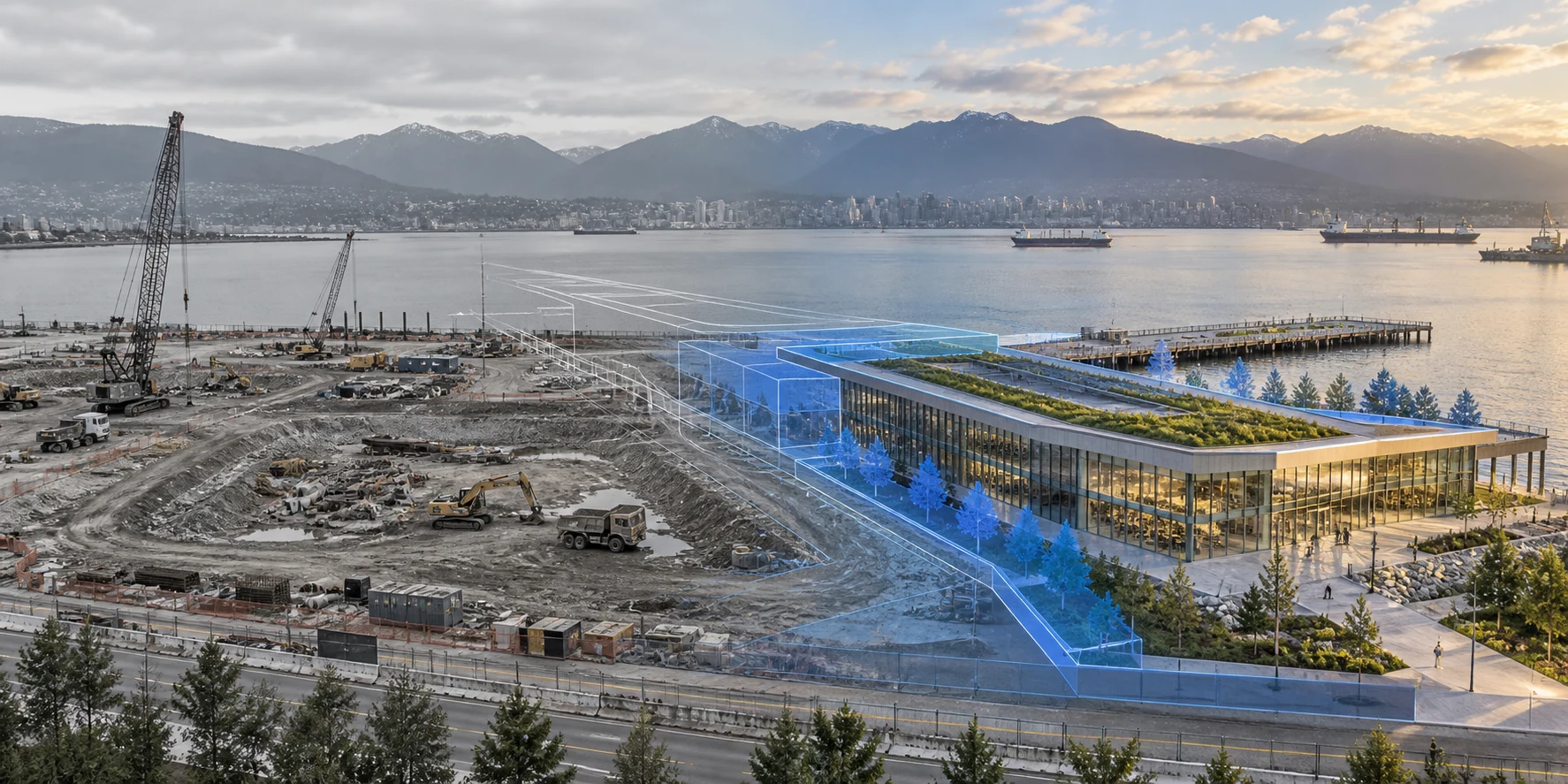
3DGS represents relatively static environments and objects. 4DGS extends this representation to capture how scenes, objects and events change over time.
Stable spaces
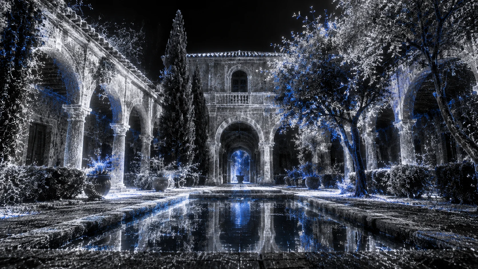
3D Gaussian Splatting | Preserve real-world spaces
For products, factories, heritage objects, buildings and facilities, preserve appearance, materials and spatial relationships in digital assets that can be viewed, shared and delivered.
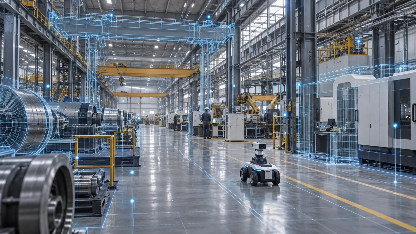
For production, inspection, people and equipment movement, and on-site incidents, record how the same space changes over time as a spatiotemporal foundation for analysis, review and physical AI.
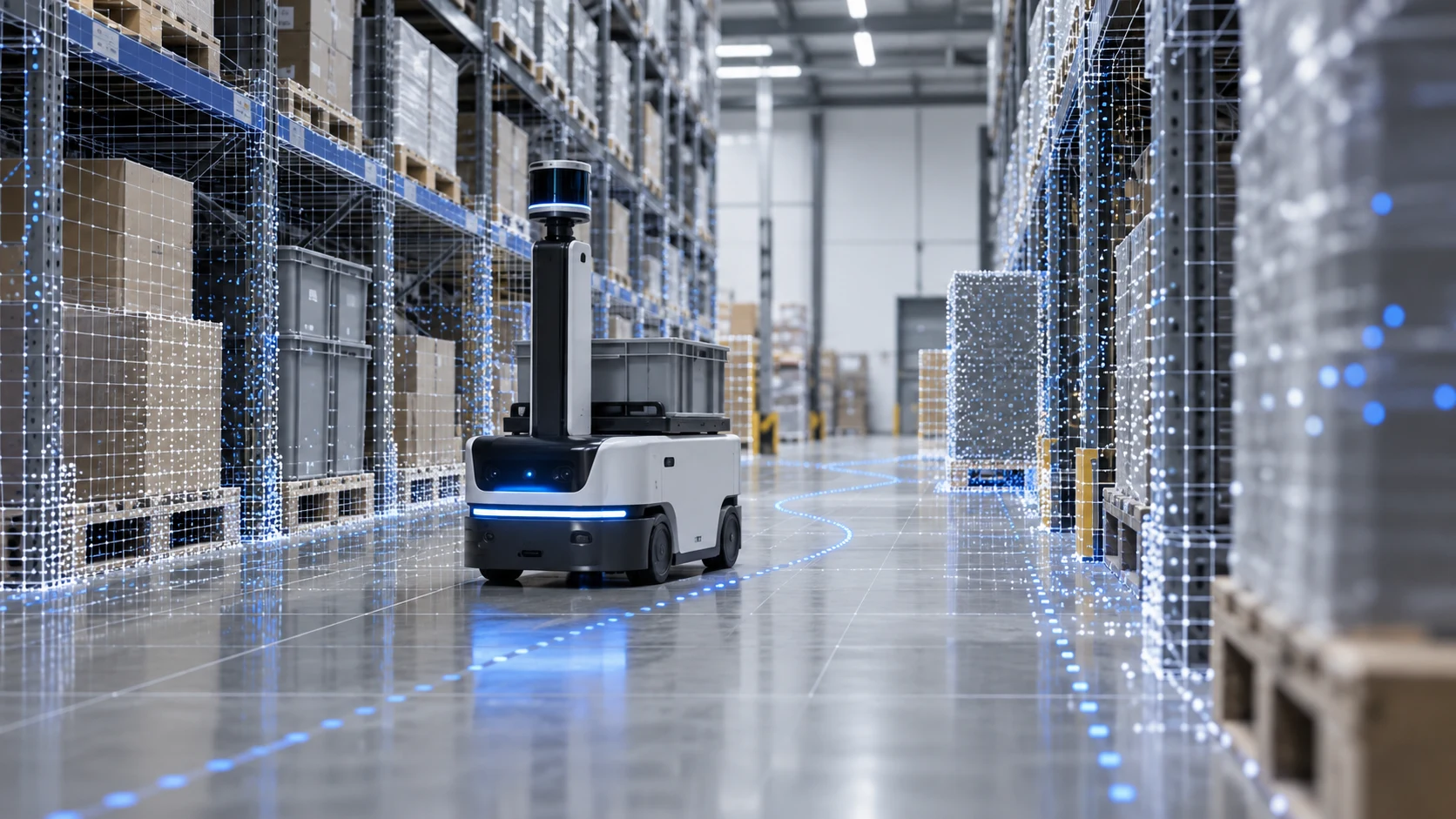
For robots to act in the real world, they first need to know where they are, what surrounds them, how the space changes and what supports each decision.
Establish spatial context
Preserve object positions and spatial relationships as a data foundation for localization and scene alignment.
Structure scene semantics
Organize scene information around objects, relationships and states to support spatial understanding.
Connect data to evidence
Link spatiotemporal data, task rules and source records for analysis and review.
Connect simulation and reality
Use an R2S2R workflow to build simulations of real environments and validate tasks.
R2S2RReal-to-Sim-to-RealFrom real-world spaces to a spatial foundation robots can use
Trustworthy Spatial Intelligence
Trustworthiness is demonstrated through verifiable practices.
When spatial assets enter production, measurement, evidence preservation or intelligent decision-making, their source, generation process, scope and access must be clear.
01
Data provenance
Document capture devices, source material and processing steps.
02
Accuracy bounds
Specify accuracy, completeness and appropriate uses.
03
Time and version
Identify when a scene was captured and which version it represents.
04
Evidence-linked AI
Link results to imagery, locations, rules and confidence scores.
05
Access and governance
Manage access, sharing permissions and project records.