Incident documentation and forensic evidence solutions
Preserve the state of a site as
a reviewable spatiotemporal record
For traffic incidents, industrial accidents and forensic examinations, use a standardized workflow to capture sites, objects and spatial relationships as 3D records for preservation, measurement and review.

Incidents and forensic evidence / TRUSTWORTHY SPATIAL INTELLIGENCE
Standardized on-site collection
Capture photos, video and point clouds by area, path and object.
3D scene reconstruction
Reconstruct the spatial relationships between vehicles, facilities, objects and their surroundings.
Measurement and spatial annotation
Record distances, extents, collision points and other key locations.
Project focus
Common challenges in incident documentation and forensic review
Organize scattered photos, drawings and field records into 3D data that can be viewed, reviewed and reused.
01
Site relationships are difficult to describe
A single photo and written description cannot fully express location, scale and spatial relationships.
02
Stakeholders lack a shared reference
Materials used by incident teams, insurers, legal teams and responsible parties can easily diverge.
03
Process records need to be traceable
Manage original source data, capture timestamps, processing history and output versions in one place.
solution capability
Build usable outcomes around real spaces
Build a workflow for real business needs, from capture and reconstruction to viewing and delivery.
Form real 3D data that can be used continuously
Capture
Standardized on-site collection
Capture photos, video and point clouds by area, path and object.
Make key spatial relationships and object details visible
Reconstruction
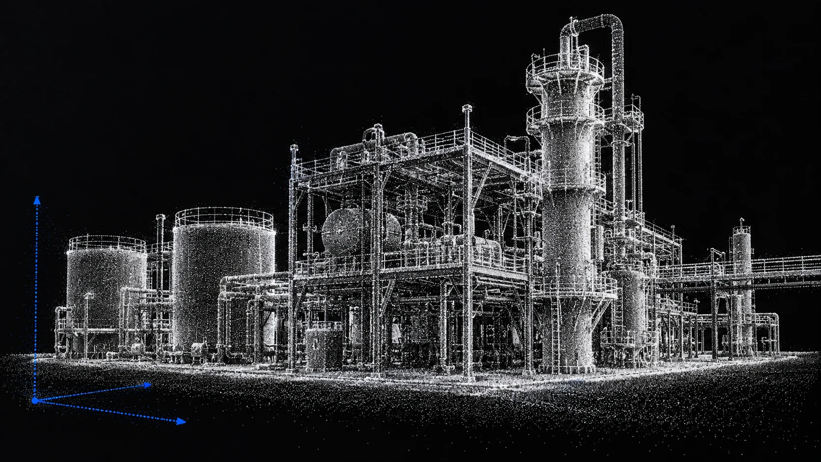
3D scene reconstruction
Reconstruct the spatial relationships between vehicles, facilities, objects and their surroundings.
Reduce repeat site visits, rework and duplicated checks
Measure
Measurement and spatial annotation
Record distances, extents, collision points and other key locations.
Support cross-team viewing, measurement, annotation and review
association
Traffic incident reconstruction
Support scene review, responsibility discussions and evidence organization.
Maintain a 3D project archive that can be updated over time
Archive
Original-evidence linkage
Preserve source provenance, capture times and deliverable-version information.
Implementation process
Pilot and go-live steps
01
Determine objects and purposes
Clarify the collection scope, data boundaries, results usage and acceptance requirements.
02
Collect and complete reconstruction
Build trustworthy 3D results using photos, videos, drones or point cloud data.
03
Review outputs and integrate them into your workflow
Complete viewing, measurement, annotation, sharing or enterprise system access.
Delivery content
What does the plan include?
The specific delivery scope will be confirmed based on the project objects, data conditions, usage methods and deployment requirements.
01
Project scope and safety boundary description
02
Trustworthy 3D base map of a facility or space
03
Measurement, labeling and risk point data
04
Access controls, audit logging and private deployment configuration
05
Business system access and update suggestions
Illustrative applications
Typical applications
Choose application workflows that fit the project's subjects, capture conditions and delivery requirements.
Application scenarios
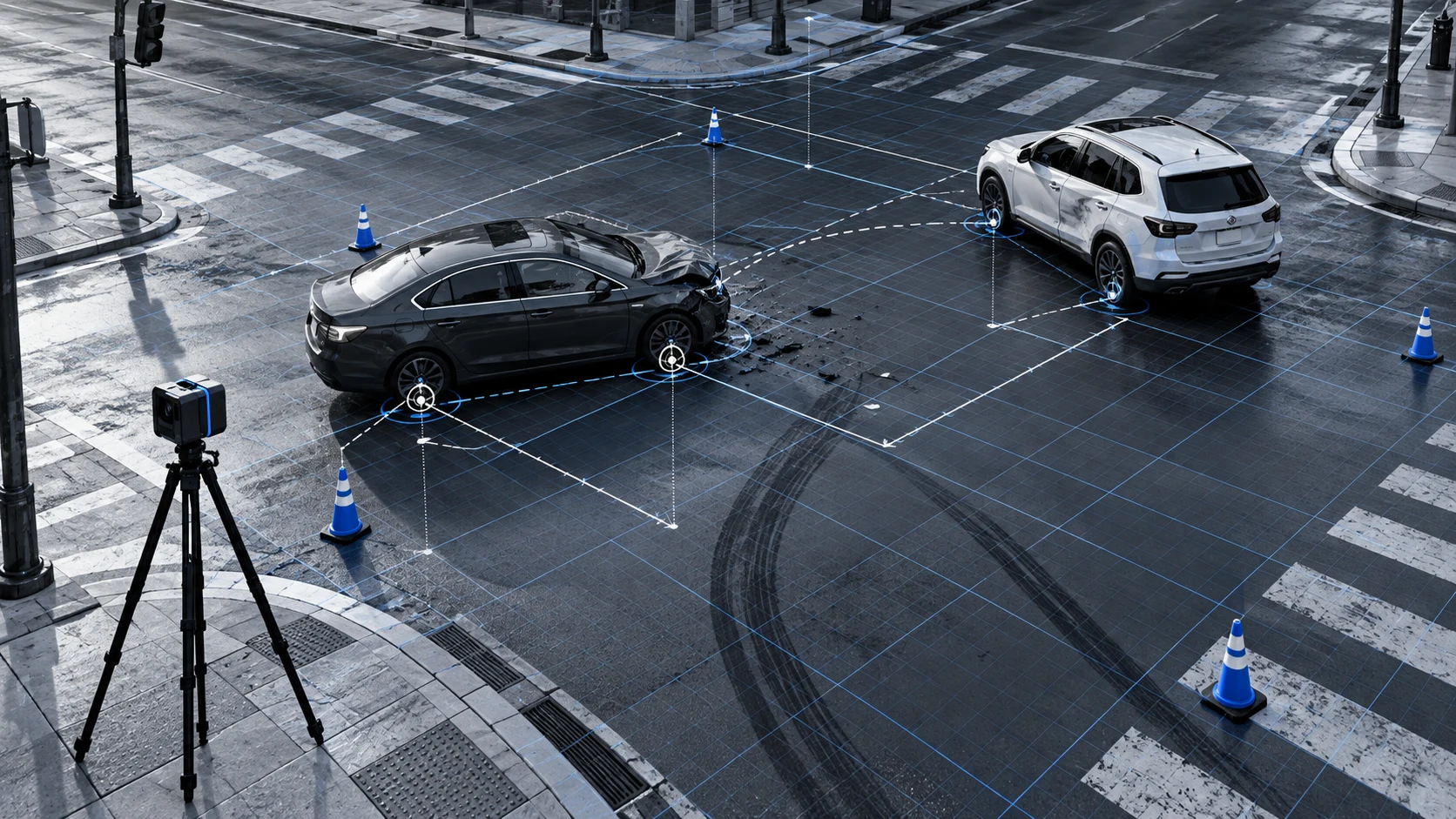
Traffic incident scenes
Preserve the vehicles, road, collision points and surrounding environment.
Application scenarios
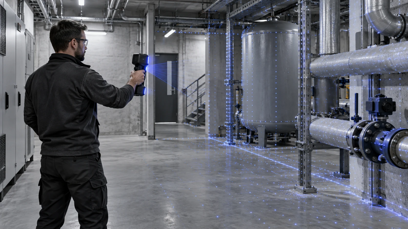
Industrial and safety incidents
Record site conditions, equipment locations and risk areas.
Application scenarios
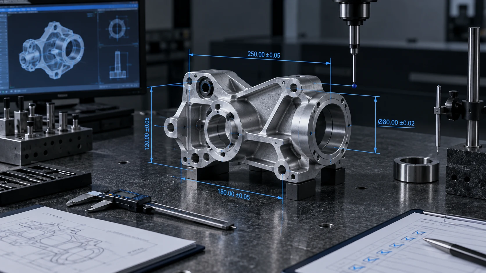
Forensic evidence preservation
Create 3D records that support communication, review and archiving.
Related solutions
Continue to view industry applications adjacent to your current project.
Next step
Evaluate incident documentation and forensic review with a real project
Submit the project scope, existing equipment and outcome requirements and we will provide acquisition, reconstruction and delivery recommendations.